
bigpigeon.us webpage WWII Japan > Central Pacific, © 2023 by Robert A. Christiansen, updated by RAC 5 Jan 2023.
During Central Pacific operations from November 1943 to November 1944, US forces vanquished Japanese defenders in the Gilbert, Marshall, Mariana, and Palau islands.
Some webpages herein are incomplete.
During Central Pacific operations from November 1943 to November 1944, US forces vanquished Japanese defenders in the Gilbert, Marshall, Mariana, and Palau islands.
Some webpages herein are incomplete.
Links to Big Pigeon's WWII Japan > Central Pacific subpages:
Background
In June 1942, American success at the Battle of Midway stopped Japanese advances in the Central Pacific area.
- However, several factors, such as the shortage of aircraft carriers and the need to defend Australia, argued against quick follow-up US landings in the Central Pacific, where the large distance between island chains made it difficult to provide land-based air support for amphibious actions.
- For the next seventeen months, except for the expulsion of Japanese forces from the Aleutian Islands, the Pacific War focussed on a smaller area in the South and Southwest Pacific.
- US offensive operations in the Central Pacific area began in November 1943.
The Central Pacific, November 1943 - November 1944
Each of the four major central Pacific operations included amphibious landings by a mixture of Marine Corps and Army units in a different island chain. Landings were preceded by naval bombardments and subsequent land operations were supported by carrier-based aircraft.
- November 1943, Tarawa and Makin, atolls in the Gilbert Islands.
- January-February 1944, Kwajalein and Eniwetok, larger atolls in the Marshall Islands.
- June-August 1944, Saipan, Guam and Tinian, large islands in the Mariana Islands.
- September-November 1944, Anguar and Peleliu, small volcanic islands in the Palau Islands.
Locating the Central Pacific Operations
|
Looking at the right part of the accompanying map, one can imagine these four islands chains noted above form the corners of of a tilted rectangle:
|
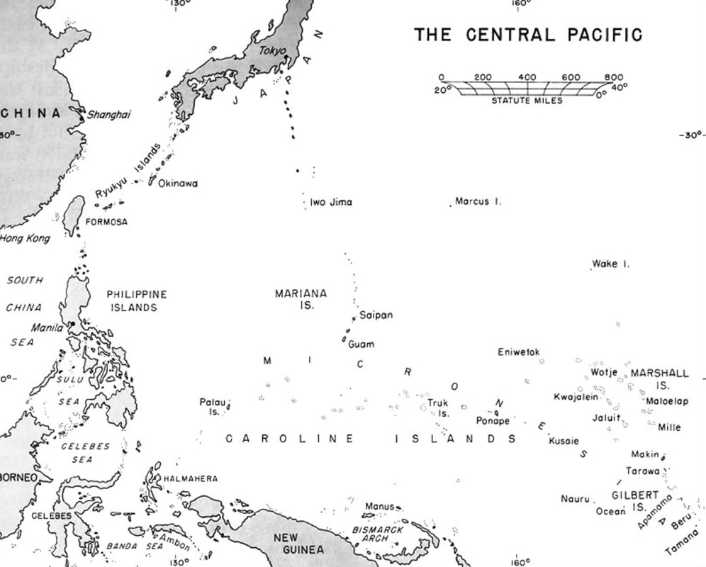
WWII - The Central Pacific
|
timeline summarizing major Central Pacific amphibious operations, with invasion month and number of US dead
|
Gilbert Islands (extreme right on this map):
|
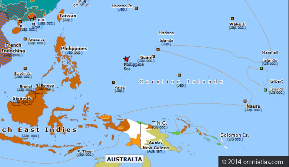
Central Pacific June 1944
|
With the benefit of hindsight, many military historians now believe the costly Gilbert and Palau islands operations should have been avoided. Most would agree that the Marshall and Mariana islands operations were necessary.
Sources for Big Pigeon's WWII Japan > Central Pacific webpage:
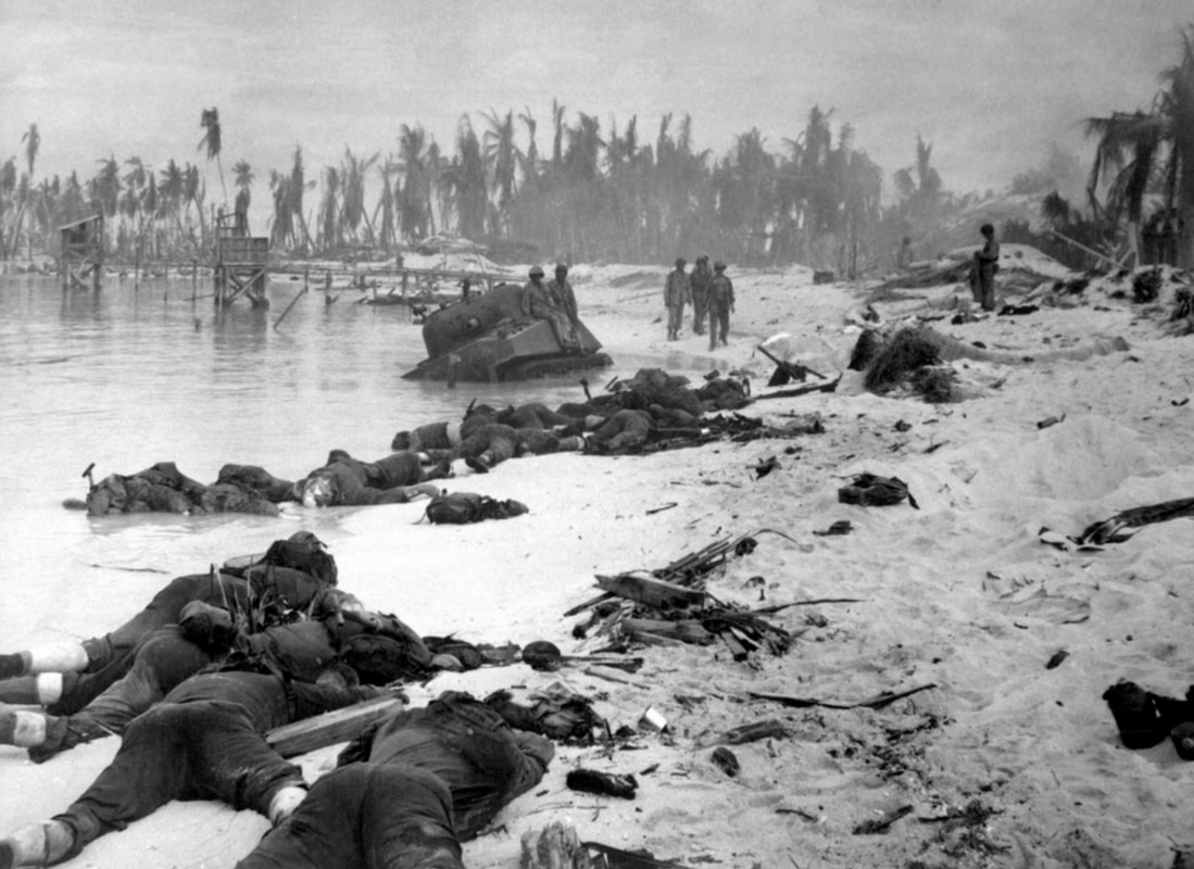
- The Beach at Tarawa header photo is courtesy of the National World War II Museum in New Orleans, LA.
- The WWII - The Central Pacific map was found at https://www.ibiblio.org/hyperwar/USA/USA-P-Strategy/Strategy-22.html.