bigpigeon.us webpage History > SW Iowa History > Transportation Maps, © 2023 by Robert A. Christiansen, updated by RAC 18 Oct 2023
No content yet.
No content yet.
I hope to eventually include sections on 1860, 1900, 1940, and 2020. For the moment, I will only have maps for around 1940, the WWII era.
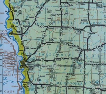
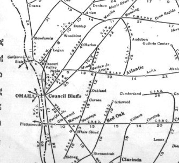
around 1940 - WWII Southwest Iowa Road & Rail Networks
(These maps show only a portion of Southwest Iowa.)
(These maps show only a portion of Southwest Iowa.)
Sources for Big Pigeon's History > SW Iowa History > Transportation Maps webpage:


